
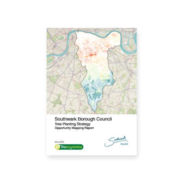
In this report, undeveloped areas within Southwark have been assessed for their tree planting potential using a Multi Criteria Decision Analysis (MCDA) with Geographic Information System (GIS) software. The aim is to determine the tree planting locations that will achieve the greatest impact to society. The locations have been ranked between 3 and 11 (with 11 being the highest priority planting locations) based upon:
- Areas with low tree canopy cover
- Areas with high social deprivation
- Areas within 10m of a road (increased air pollution removal by trees)
- Areas at risk of flooding
- Areas covered by existing tree canopy
- Areas within a Heat Island