Trees are arguably the single most important component of Green Infrastructure, yet are often overlooked and undervalued. In particular, trees are important because they enhance and improve the urban environment by providing a wide range of benefits (or ecosystem services) at relatively little cost. Trees improve health and well-being, store carbon, reduce the urban heat island effect, and improve air quality. Understanding the extent of the Plymouth Policy Area (PPA) tree 1 canopy cover and its relationship with other indicators is the first step in ‘measuring to manage’ this important resource.
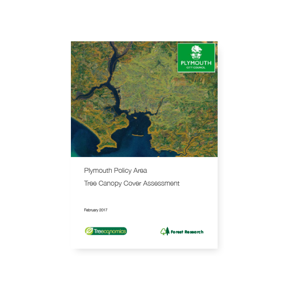
This appreciating asset (part of Plymouth’s Natural Capital) can now be improved and maintained using this study and its data, with resources targeted to the areas that most need it. This study estimates tree canopy cover within the Plymouth Policy Area using the Bluesky National Tree Map dataset (For details and specification of this dataset see Appendix I).
Estimates of canopy cover for each Ward in the Plymouth City Administrative Boundary, the Plymouth Urban Fringe, and the total Plymouth Policy Area were calculated. The results provide a snapshot of the current tree canopy cover (Fig 1) and a baseline to allow for comparison with future tree canopy surveys. The study also compared tree canopy cover with relevant statistics from the Office for National Statistics (ONS) and reviewed other available sources of geographical data on human health, well-being, and societal factors (such as crime rates, social deprivation, and life expectancy) to observe if there was any correlation with tree canopy cover.

