
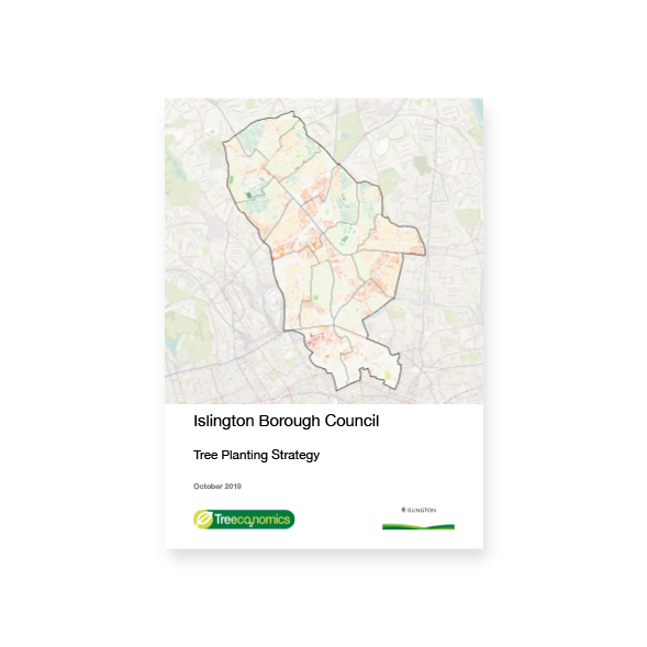
In this report areas for tree planting within Islington have been assessed using a Multi Criteria Decision Analysis (MCDA) with Geographic Information System software (GIS) to determine the best possible available locations to potentially plant trees. The locations have been ranked between 8 and 3 (level 8 being the best places to plant) based upon:
- Areas of low tree canopy cover
- Areas of high social deprivation
- Areas within 40m of a road for increased pollution removal by trees Additionally, GIS map layers have been used to ensure no planting areas are located under the canopy of any existing trees or on existing hardstanding.