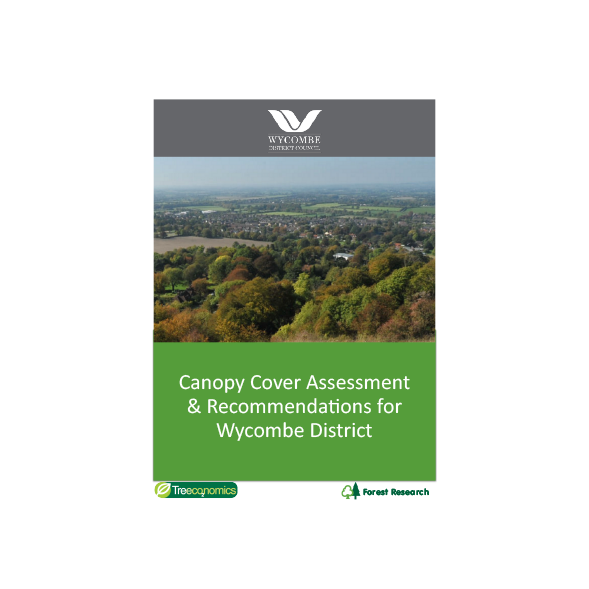
This study estimates tree canopy cover in Wycombe District using the Bluesky National Tree Map dataset (Appendix 1). Estimates of canopy cover for each ward, as well as the district total were calculated. The results provide a snapshot of the current tree canopy cover (Figure 28) and a baseline for comparison with future surveys.
The study also compared other statistics from the Office for National Statistics (ONS) and reviewed other available sources of geographical data on human health, wellbeing and societal factors (such as crime rates, house prices, social deprivation and life expectancy) to observe if there was any correlation with tree canopy cover. The canopy cover of Wycombe District is estimated at 25 percent and the canopy cover of the main urban areas within the district is as follows


